


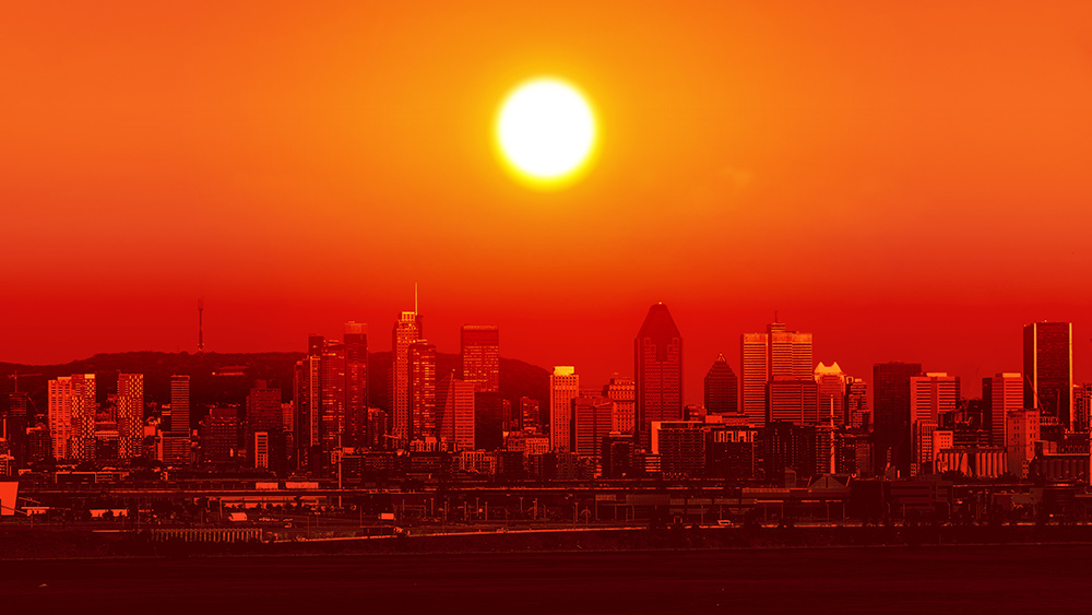
- A historic, record-shattering March heat wave, driven by an intense "heat dome," is expanding across the United States.
- The event has already broken all-time March temperature records in 14 states and set hundreds of local records.
- The heat wave's vast geographic scope may make it one of the most expansive in U.S. history, rivaling events like the 2012 and 2021 heat waves.
- While the dome will eventually shift, it highlights escalating climate risks and the dangers of unseasonal extreme heat to public health and infrastructure.
In a startling climatic event, a massive and persistent "heat dome" has shattered temperature records across the western and central United States this month, with forecasts showing its eastward expansion could make it one of the most geographically expansive heat waves in American history. The phenomenon, an intense high-pressure system that traps and compresses hot air like a lid, has propelled temperatures 20 to 30 degrees Fahrenheit above normal, delivering summer-like heat weeks ahead of schedule. From the Southwest to the Plains and beyond, this unrelenting wave is challenging historical benchmarks and delivering a potent signal of a warming climate’s capacity to disrupt seasonal norms.
Records Obliterated by "Absurd Margins"
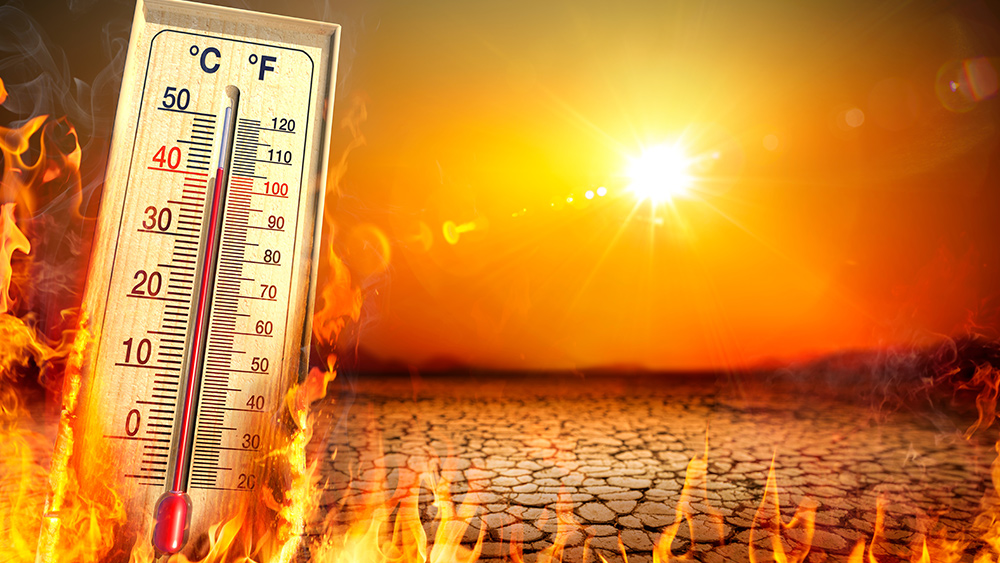
The scale of record-breaking is staggering. The heat wave has demolished the all-time U.S. March temperature record, with four locations in Arizona and California hitting 112 degrees Fahrenheit—a mark just one degree shy of the national record for April. According to climatologists, at least 14 states have seen their hottest March day on record, including California, Arizona, Nevada, Utah, Colorado, Nebraska, and Minnesota. The event’s prolific nature is underscored by data from the National Center for Environmental Information, which logged at least 479 weather stations breaking their all-time March records in just a four-day period, alongside over 1,400 daily high records.
Cities have experienced unprecedented milestones: Phoenix endured six consecutive days of triple-digit heat, matching its April record; San Francisco recorded its first-ever March 90-degree day downtown; and Flagstaff, Arizona, saw a staggering 11 or 12 straight days above its previous March record. The heat was not confined to the West, as March records also fell in cities like Kansas City, Des Moines, Nashville, and Pittsburgh, demonstrating the event's vast reach.
A Heat Wave of Historic Proportions
Weather historians note that while individual heat waves like the 1936 Dust Bowl or the 2021 Pacific Northwest event were more intense or deadly, the sheer geographic footprint of this March event is exceptional. Its physical area likely dwarfs other significant modern heat waves, including the 2012 event in the Upper Midwest and Northeast. Meteorologists attribute the dome’s strength and persistence to a stalled jet stream pattern, which is also connected to the torrential rains that recently drenched Hawaii. This atmospheric blocking pattern has allowed the high-pressure ridge to settle and intensify over an enormous swath of the country.
Risks Beyond the Thermometer
The immediate public health concerns are significant, with excessive heat warnings issued for millions. The sudden onset, before many have acclimated to warmer weather, increases risks of heat-related illness, particularly for vulnerable populations. Furthermore, experts warn of cascading environmental impacts. The extreme heat is rapidly melting the already-low Western snowpack, threatening to worsen drought conditions and priming the landscape for a severe wildfire season. The event serves as a stark stress test for infrastructure and emergency services more accustomed to peak summer heat, not an early spring onslaught.
A Sobering Preview of Seasons to Come
While meteorologists predict the heat dome will finally shift by late next week, its legacy will linger. This historic March heat wave is more than a statistical outlier; it is a vivid, real-time demonstration of how climate change is warping seasonal boundaries and amplifying extreme weather. The event provides a sobering preview of future summers and a clear indication that the definition of a "normal" season is rapidly evolving. As records continue to fall not by increments but by leaps, the message is unequivocal: the climate of the past is no longer a reliable guide for the present or the future.
Sources for this article include:


Please contact us for more information.